

Marion Hanson
Marketing Executive
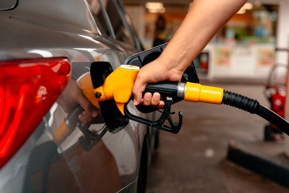
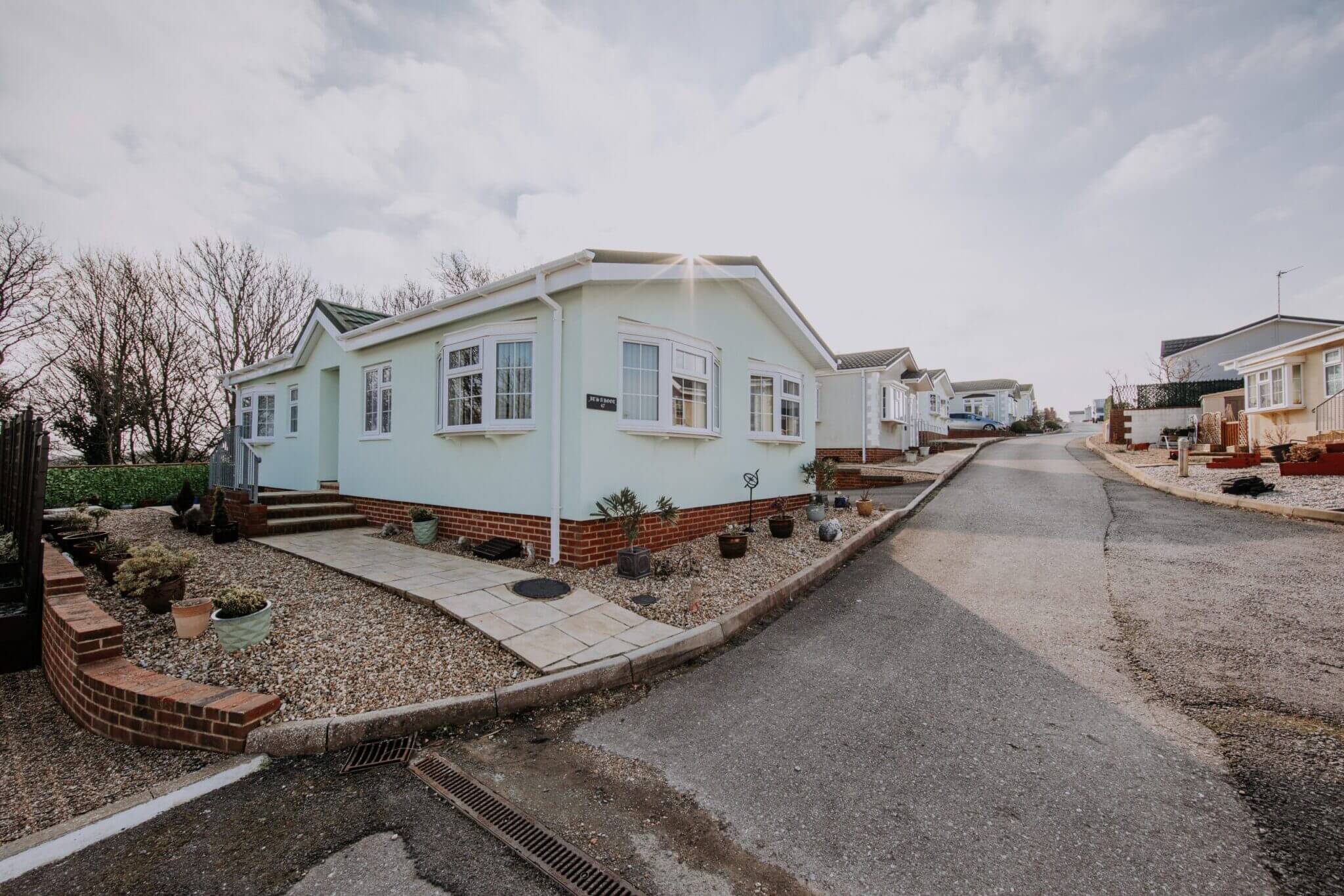
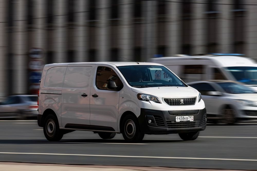
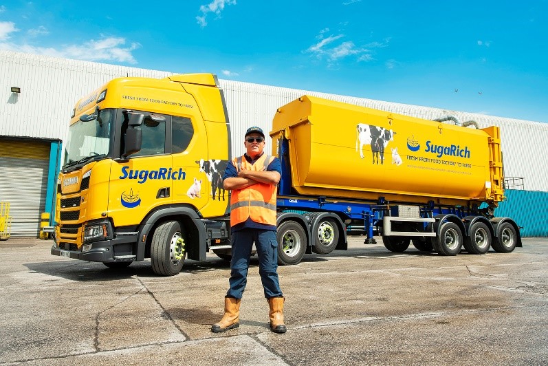
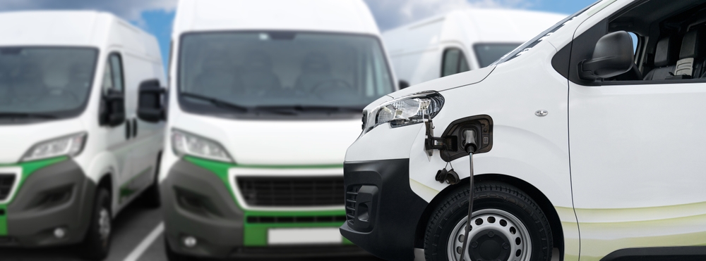
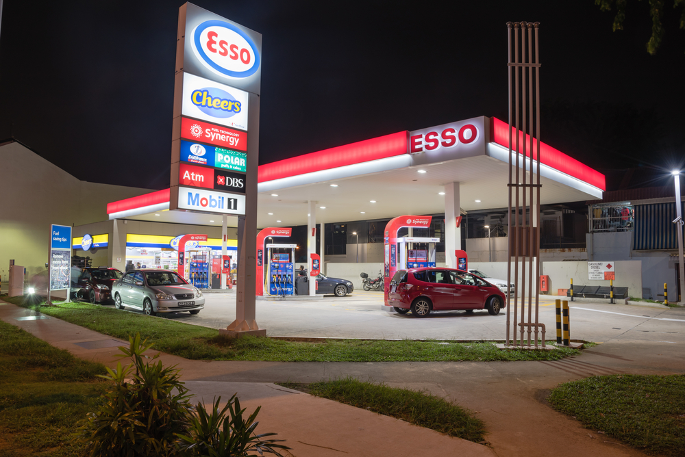
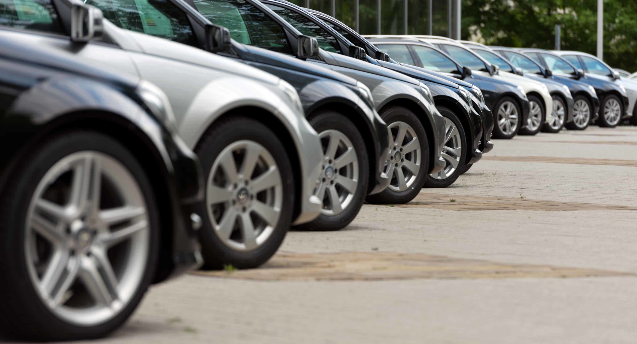
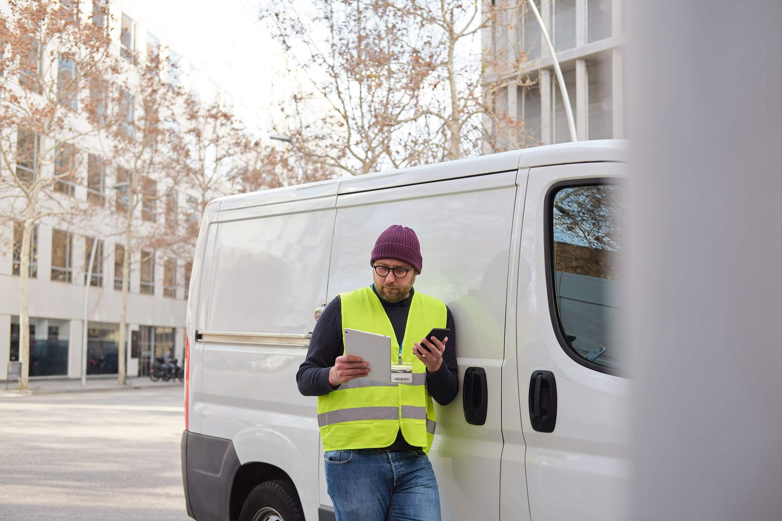
Geofencing your fleet vehicles is a great way to protect vehicles from theft and improve work efficiency.
Not only does it allow for real-time insights while your drivers are out on the road, it can also help you to monitor any unusual activity and identify any downtime or unathorised use.
In this article, we explain geofencing, how it works, and the benefits of using it to monitor the location of your fleet vehicles.
Geofencing is often part of a much bigger telematics and tracking strategy. Find out more information on our telematics services in our article ‘How does our telematics system service work?’.
Before we can discuss how geofencing works and how you can use it to monitor your vehicle fleets, it's important to understand what geofencing means and how it can be used in different industries.
Here is a quick breakdown of what geofencing is:
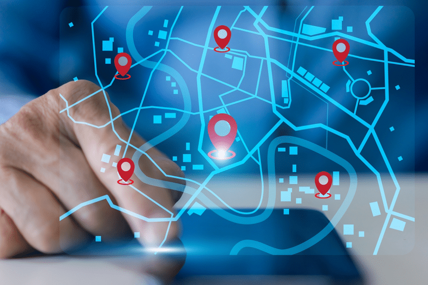
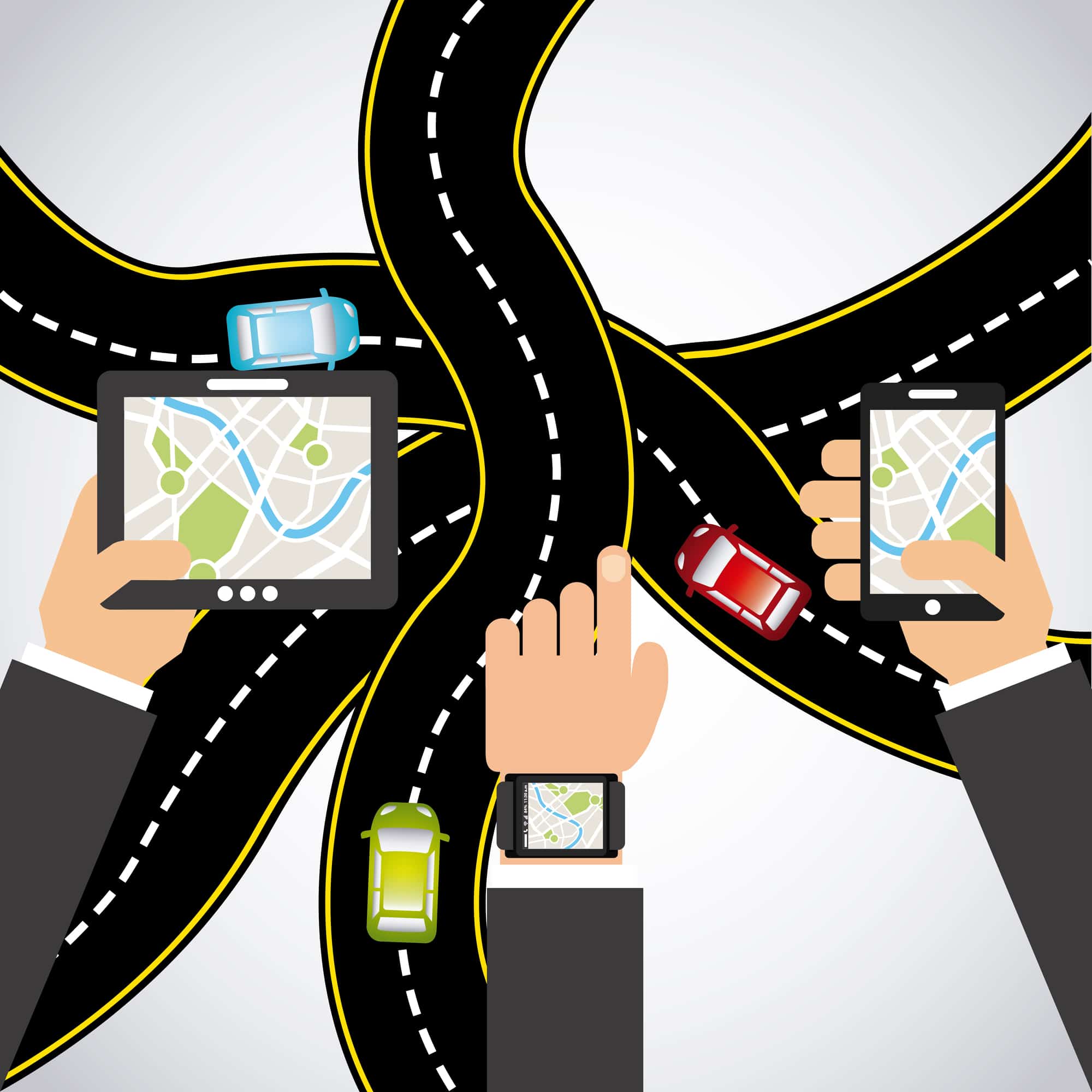
Geofencing is a virtual geographic boundary created around a real-life geographic area. It allows you to include and exclude areas and create a virtual shape, also known as a ‘fence,’ around the area you would like to create a boundary around.
Geofencing can be used in many industries, such as marketing, fleet management, security, and transit. It is often used to trigger an alert or action once the real-life boundary has been entered or exited.
An example of geofencing in the marketing industry would be if you received a targeted advertisement or notification after entering a virtual boundary that had been set up around a store's location. And in fleet telematics, the geofence trigger could be your driver entering or exiting a workplace site in his fleet vehicle.
No matter which context you refer to it in, geofencing is an exciting tool that can be used for creative and professional purposes.
Geofencing can be set up in many different ways, depending on the industry. It often includes the setup of a boundary, a trigger and an alert.
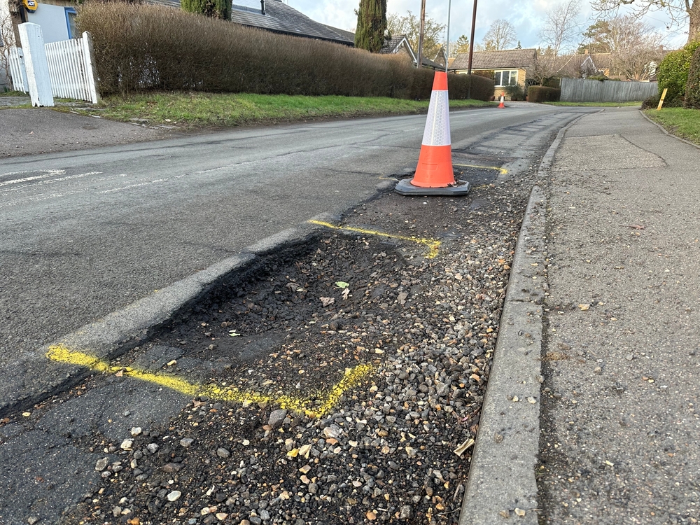
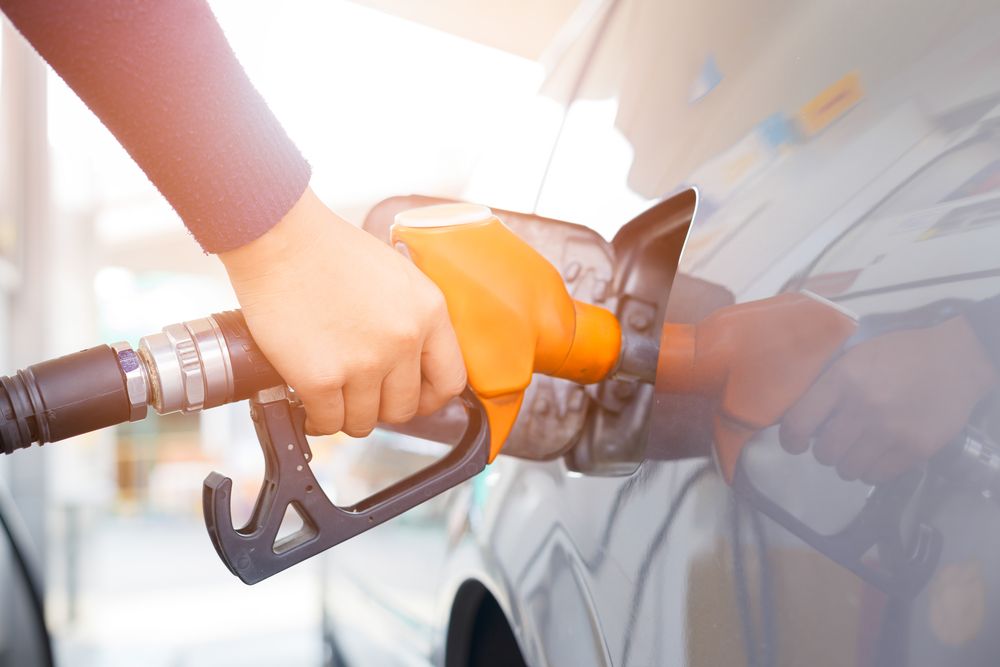
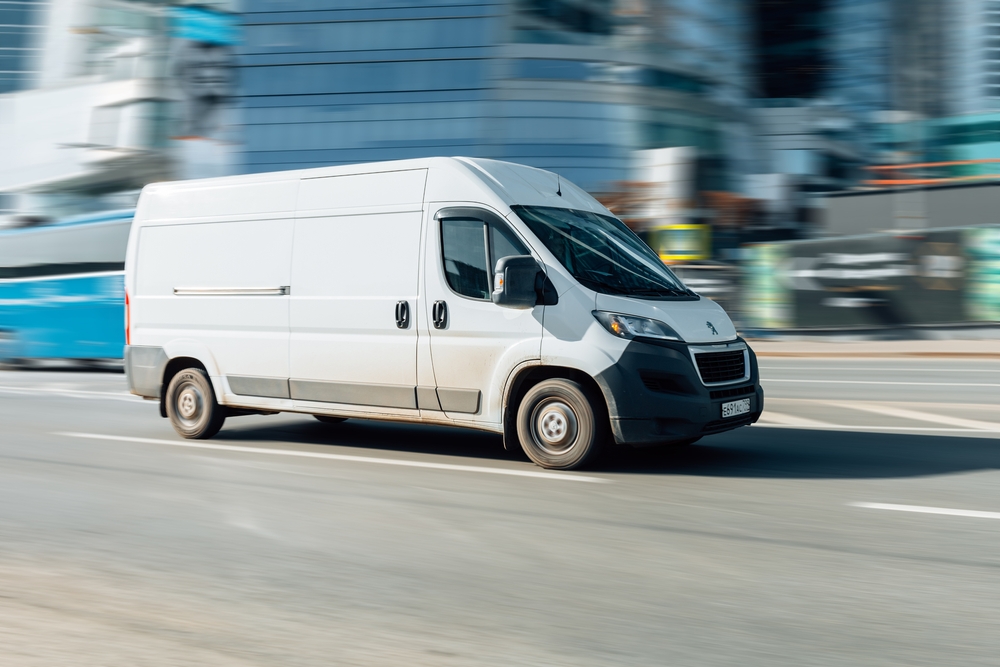
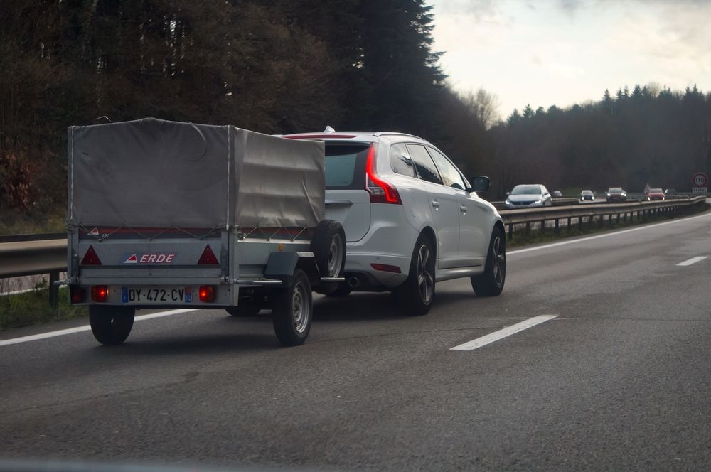
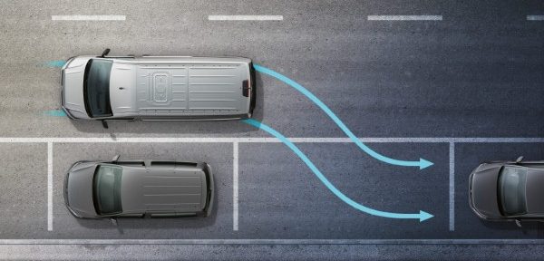
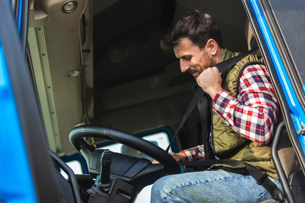
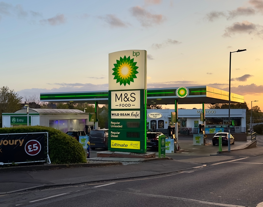
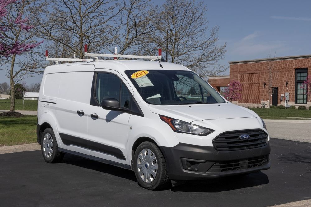
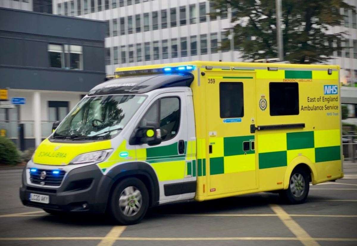
In fleet management, geofencing works by using GPS tracking devices attached to fleet vehicles to trigger alerts when a vehicle crosses virtual boundaries set out by fleet managers.
This then alerts fleet managers or security personnel to any unauthorised or suspicious activity.
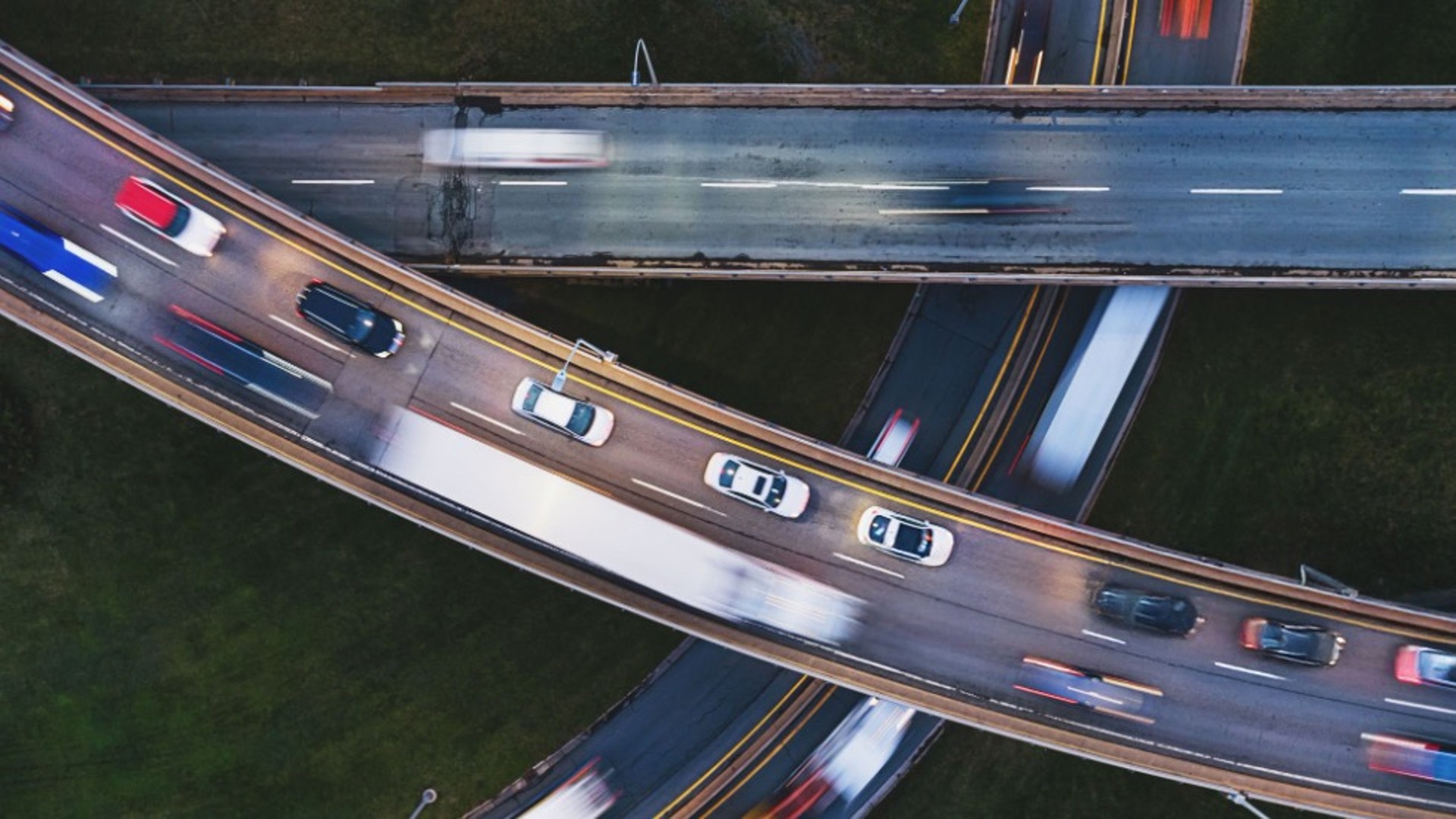
There are many benefits to adding geofencing to your telematics and vehicle tracking strategy.
Besides the added benefit of data collection, setting up a virtual boundary will alert you to any unusual activity and give you an extra level of security for your vehicles.
Geofencing can:
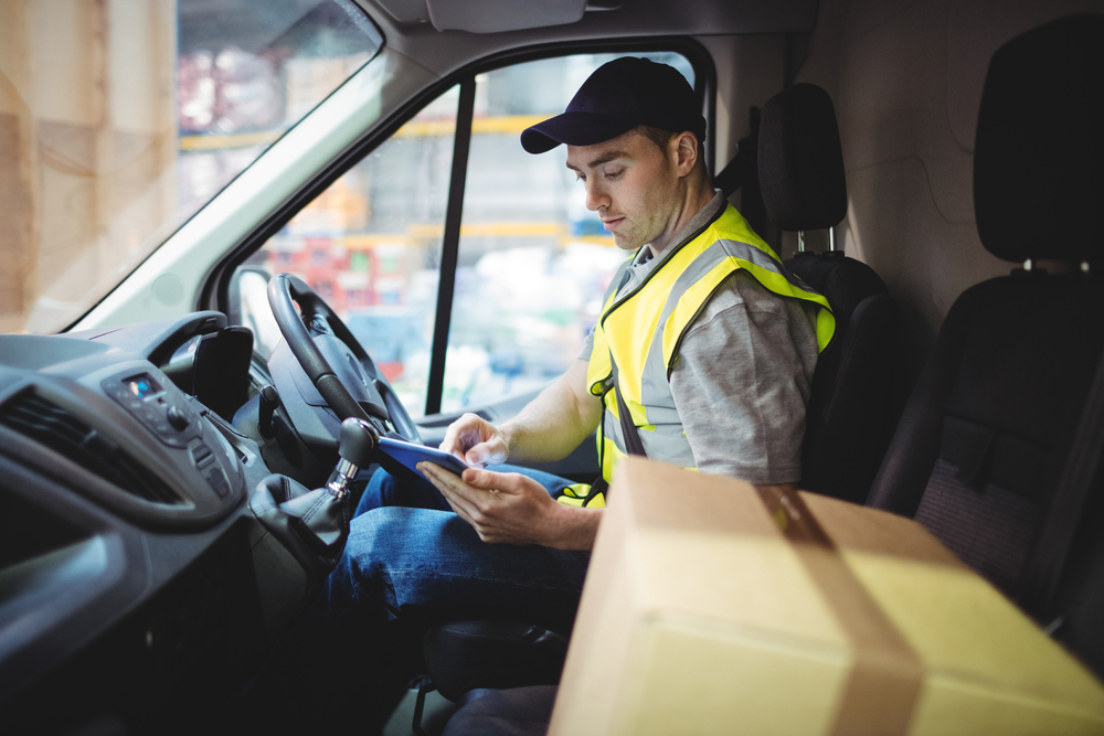
By setting up the geofencing tool you can see exactly where your vehicles are at all times to find out what they are doing.
Discover more reasons why your business may benefit from a telematics sensor in our article ‘Why your business needs a telematics sensor’.
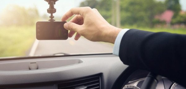
At Motia, it's easy to set up geofencing with the Motia Telematics online portal. Motia Telematics allows you to track your vehicles, get alerts, run reports, and view driver scores all in one place.
Once you have chosen one of our telematics packages, you can choose whether you would like to install a self-tracker or whether you would like one of our engineers to come and install a tracker.
Once the tracker has been installed, it's time to log in to the Motia Telematics portal to create your virtual boundaries.
Creating virtual boundaries is as easy as drawing a boundary on a map. Click the ‘Alerts’ tab to open up a map and draw a fence around the area you would like to keep your vehicles in.
You have the ability to customise your alerts in detail. Choose whether you would like alerts for your whole fleet or select vehicles, set specific time frames or set to receive alerts when a vehicle enters or leaves a site. Once your alerts have been set just sit back and wait to be notified when assets are taken out of these zones.
At Motia, we are experts at telematics, vehicle and asset tracking. When you choose any of our telematics services, you will receive:
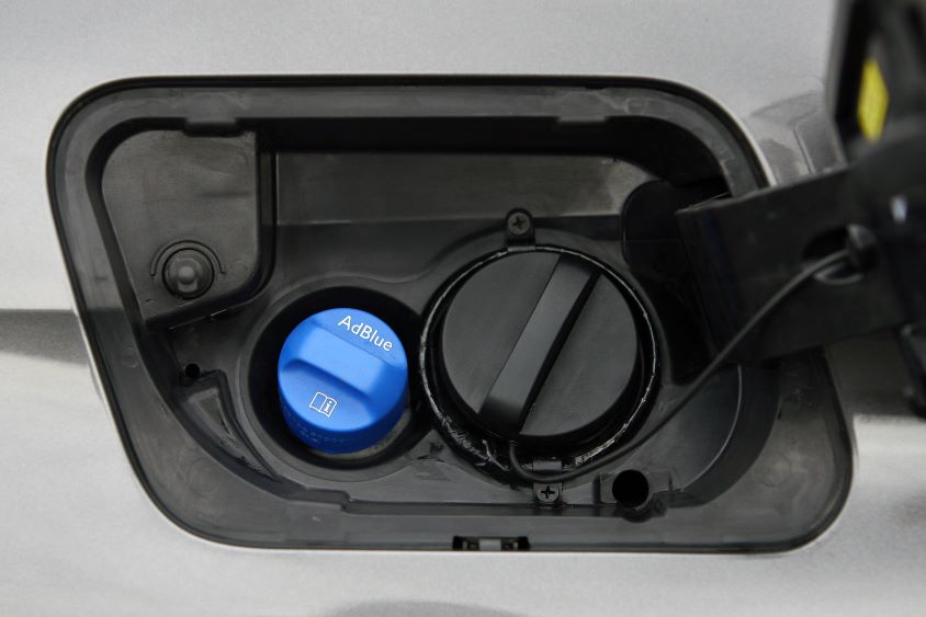
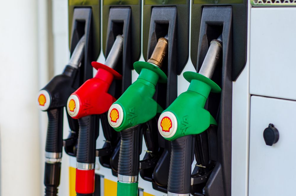
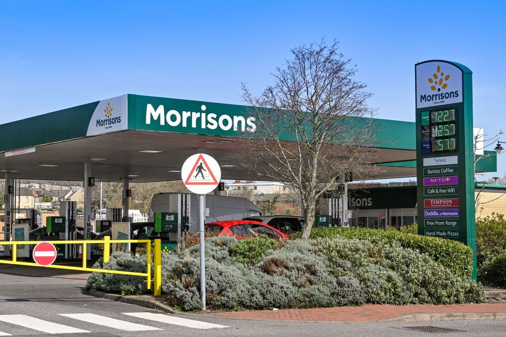
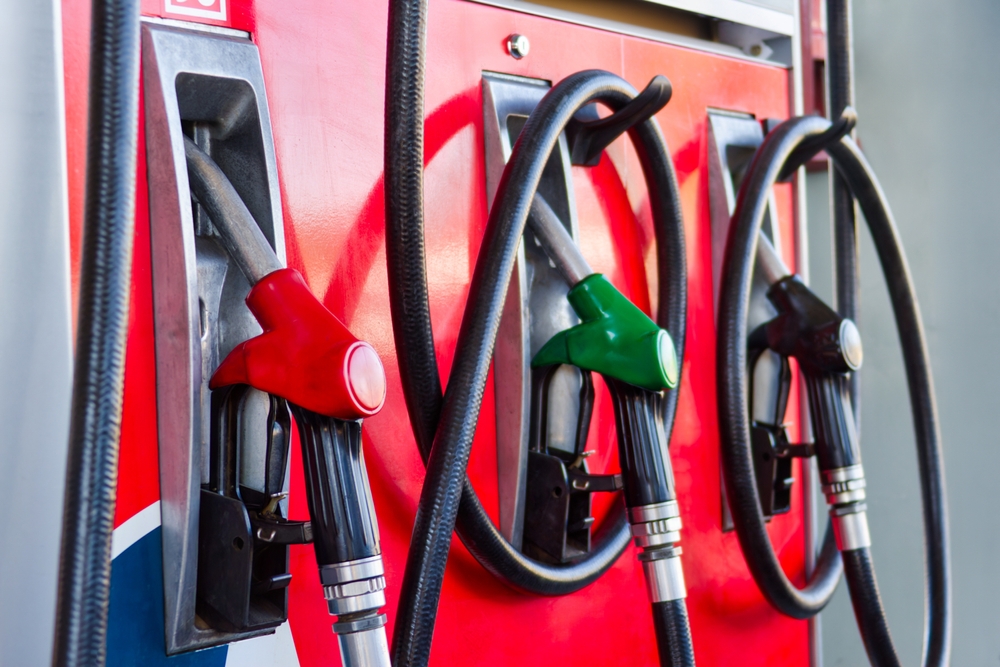
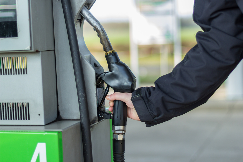
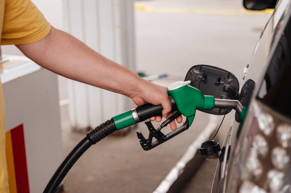
The best news is that if you're already using our fuel card solutions, our telematics integrate perfectly with your account, meaning you can get fuel fraud alerts and accurate MPG reports.
Contact us today to find out how we can help you gain real-time visibility on your fleet vehicles or assets.
Providing Fleet Solutions to optimise operations, cut costs, and keep your business moving.


.jpg)


.jpg)